Intense wildfires pose a growing threat to public health and safety in California and have caused billions of dollars of damage. In an attempt to fight and detect them at the earliest stages, FireSafe launched a bot for real-time wildfire alerts on Twitter.
Whenever a fire ignites in California, the FireSafe bot captures and analyzes relevant social media messages, detects their location, and promptly issues an alert that points to the location of the potential wildfire incident.
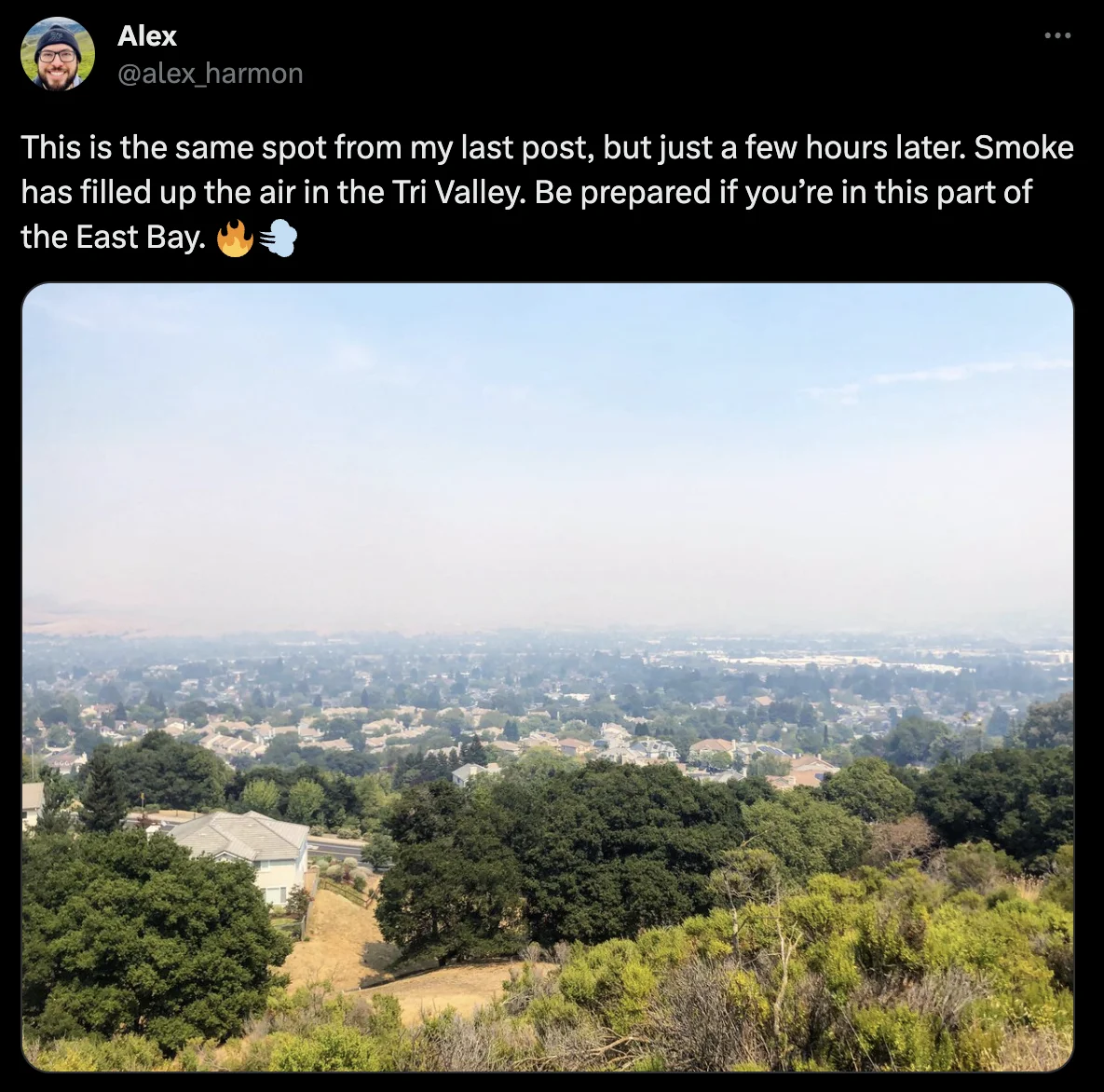
Fire Alert in the LA County: there is a potential fire in the area: around [34.028, -118.373] pic.twitter.com/R9AhN3pl71
— FireSafe California (@CalFireSafe) June 23, 2023
Why are real-time wildfire alerts important?
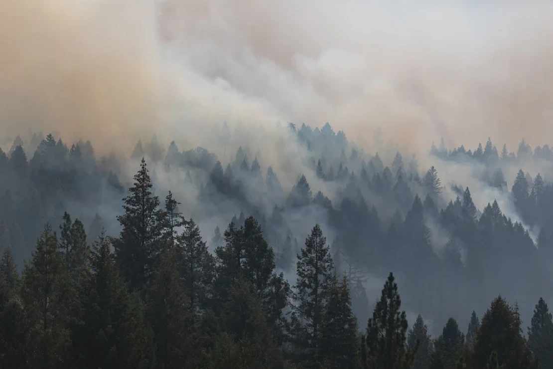
California wildfires in the past decade are among the most extreme in the history of the region.
- More than 25M acres of land in California are now classified as being under extremely high fire threat, and over 25% of the state’s population lives in these fire-risk areas.
- During the devastating 2018 wildfire season, California witnessed the destruction of 24,226 structures and the tragic loss of 100 lives.
Though wildfires are inevitable, their adverse effects can be minimized, and early detection with minimal latency is key.
Technology enabling rapid wildfire detection
FireSafe’s real-time wildfire alerts are powered by social media data. Our models catch social media messages that signal the start of a wildfire early on — users often report smoke, ashes, visible flames, and other indicators. Using advanced Machine Learning (ML) techniques, these messages are classified as related to the wildfire event, assigned a location, and processed to produce an instant alert.
How can subscribing to real-time wildfire alerts help?
- With 24/7 real-time alerts, you can stay prepared and act swiftly in response to wildfires, whether that means staying clear of the affected area, shutting off gas, dampening your surroundings, evacuating, or taking any other necessary action.
- No matter where you are, the alerts provide extensive coverage, ensuring that you receive timely signals in the event of a fire incident.
- With precise location prediction at a granular coordinate level, you can determine your proximity to the fire and ensure that you are in a safe zone.