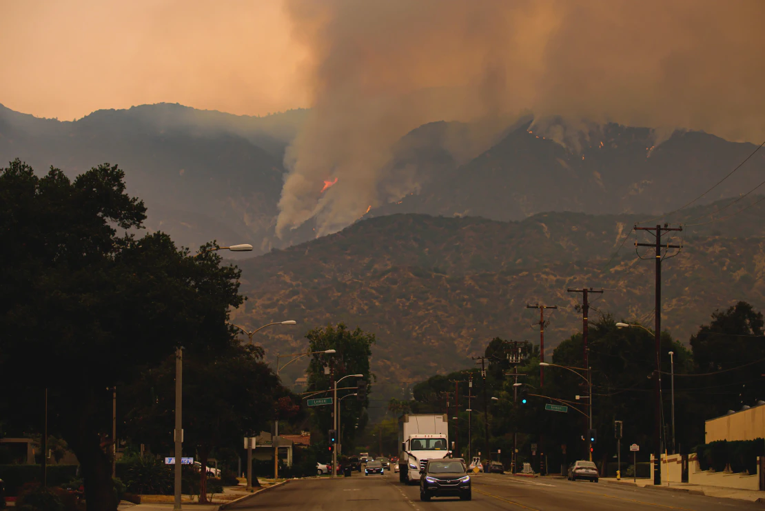
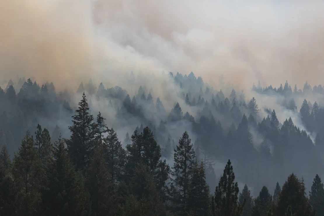
California has a long history with wildfires, but the fires in the past decade are among the most severe and deadliest ever. In 2018 , California wildfires burned an area of over 1,670,000 acres and caused 103 fatalities. The 2018 wildfires season was followed by even more destructive 2020 and 2021 seasons.
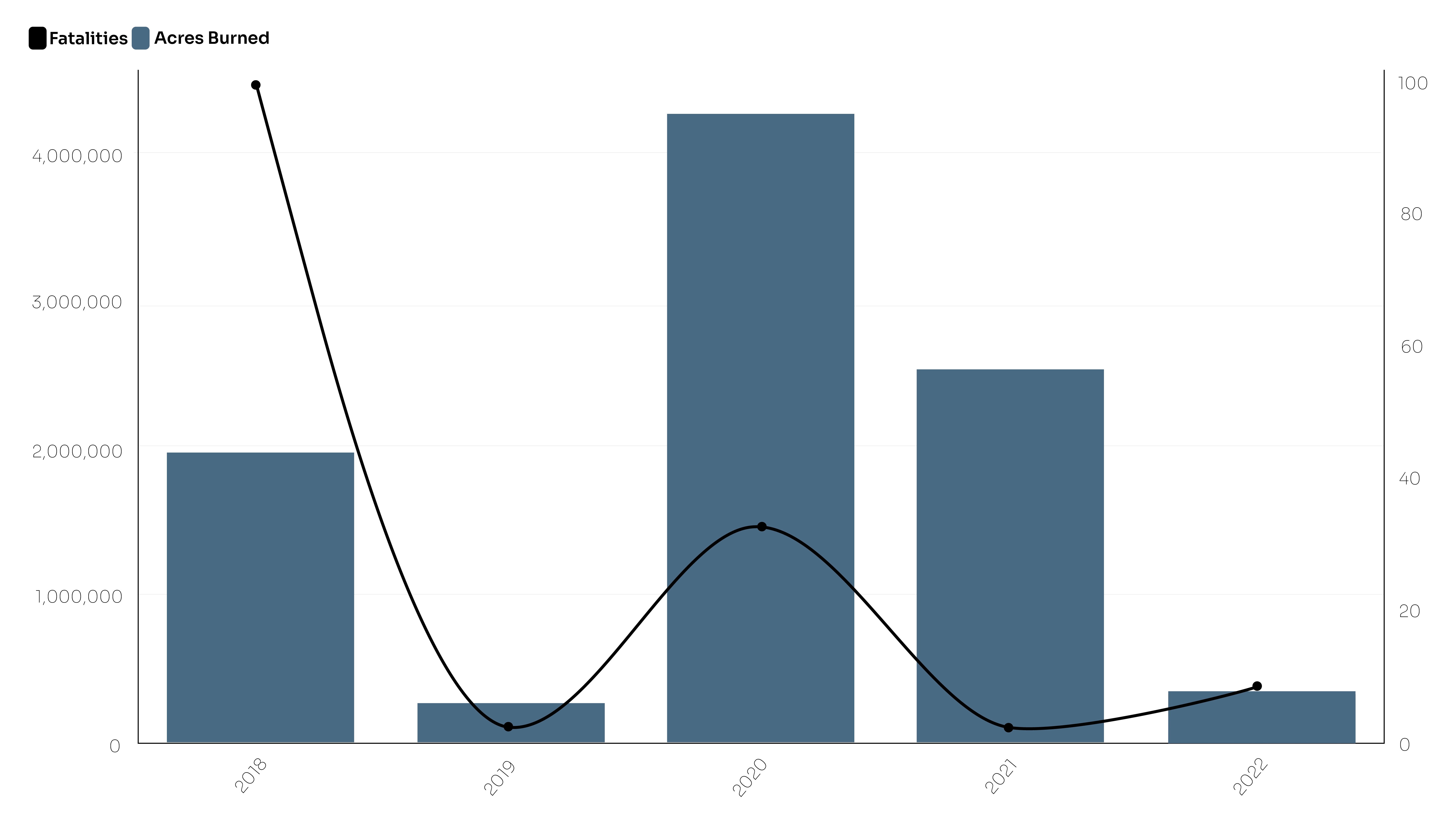
That’s why it is crucial to make use of tools that can detect early warning signs, mitigate potential consequences, and significantly reduce the number of lives lost and the extent of damage to affected areas.
Current wildfire detection systems: overview and limitations
Satellite imagery
Satellite imagery is widely utilized to detect wildfires, and some of these satellites are equipped with thermal infrared cameras that can monitor the temperature of the Earth and identify any sudden increases in it. While satellite imagery can be useful, there remains an issue with the delay between the images’ capture and the generation of alerts, which can lead to a vital delay in response time.
Sensors
Sensors offer an alternative means of detecting wildfires by measuring factors such as temperature, humidity, air pressure, and gas levels. While this technology can enable the real-time monitoring of events, its coverage is restricted as the nodes are deployed in a random manner.
CCTVs
When integrated with a Geographic Information System (GIS), Closed-Circuit Televisions (CCTVs) offer an additional approach to wildfire detection. Cameras capture images with pixels, processing units identify any pixels containing smoke or fire glow, and a subsequent mechanism determining whether to generate an alert. However, there are certain limitations to this technique, such as the requirement for cameras to be placed in a specific position to obtain a clear view of the surroundings and the potential for image distortion in adverse weather conditions.
Fire Weather Monitoring
Another way to identify wildfires is by monitoring fire weather conditions. This involves gathering and examining various data points such as temperature, wind patterns, humidity levels, and more in order to evaluate the likelihood of wildfires. By detecting the factors that increase the potential for wildfires, fire weather monitoring plays a crucial role in anticipating such incidents before they happen.
Other Solutions
Other methods for detecting wildfires include watch towers or spotter planes.
Benefits of social media data - Geotagging AI
A different approach to wildfire detection involves leveraging social media data. Every day, an average of 500M tweets and over 300M Facebook photos are shared online. When disasters occur, these social media posts can provide valuable insights; the individuals posting them essentially become firsthand witnesses that often share their observations in real-time. By employing advanced techniques such as Machine Learning (ML), it is possible to geotag these posts, assigning each one a specific geographic coordinate. This way, social media data offers both precise details and locations of events.
In the case of wildfires, social media data can catch early signals such as the smoke, ashes, distinct smell, and noticeable starting fires. It also captures messages from and about people evacuating from the area. What follows summarizes the benefits of social media data for wildfire detection:
- Social media provides easy access to real-time, 24/7, on-the-ground data;
- Wide coverage - no limitations to specific areas;
- Accurate location information helps with further resources allocation;
- Real-time data and high-precision geotagging aids in getting accurate and timely alerts for first responders; and
- Post-fire analysis to help better prepare for the future incidents
